
Aerial photography of Spain · 1956 → today
Your street, yesterday.
Type an address and see what that place looked like from the air seventy years ago. Slide through the years and watch cities grow, rivers vanish and coastlines fill up.
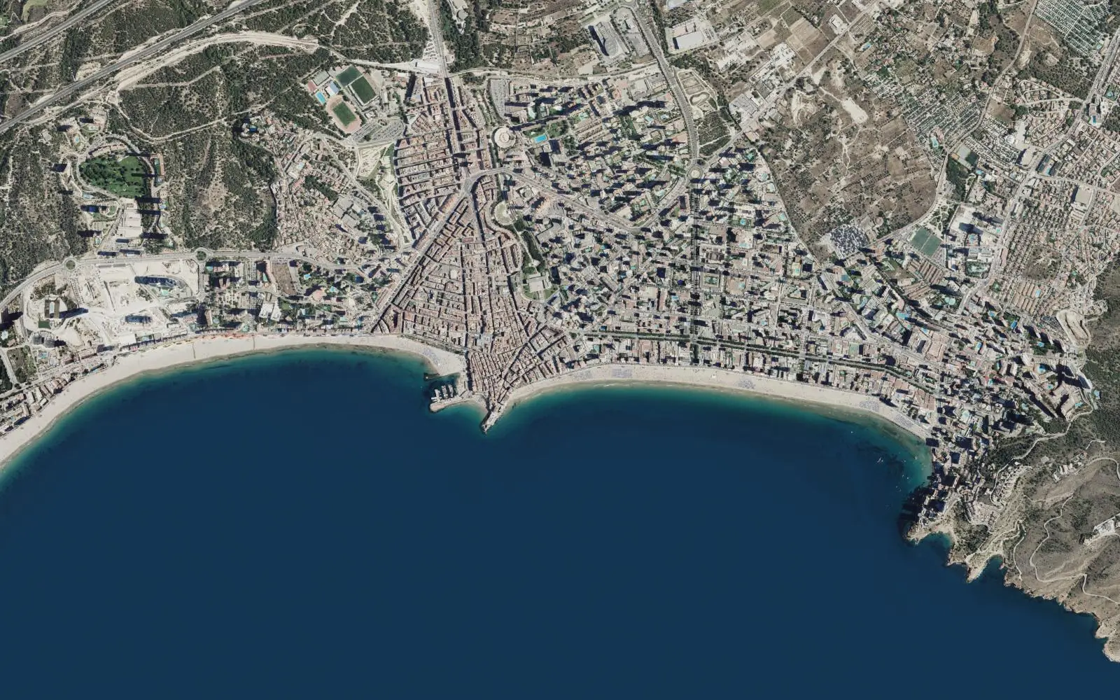
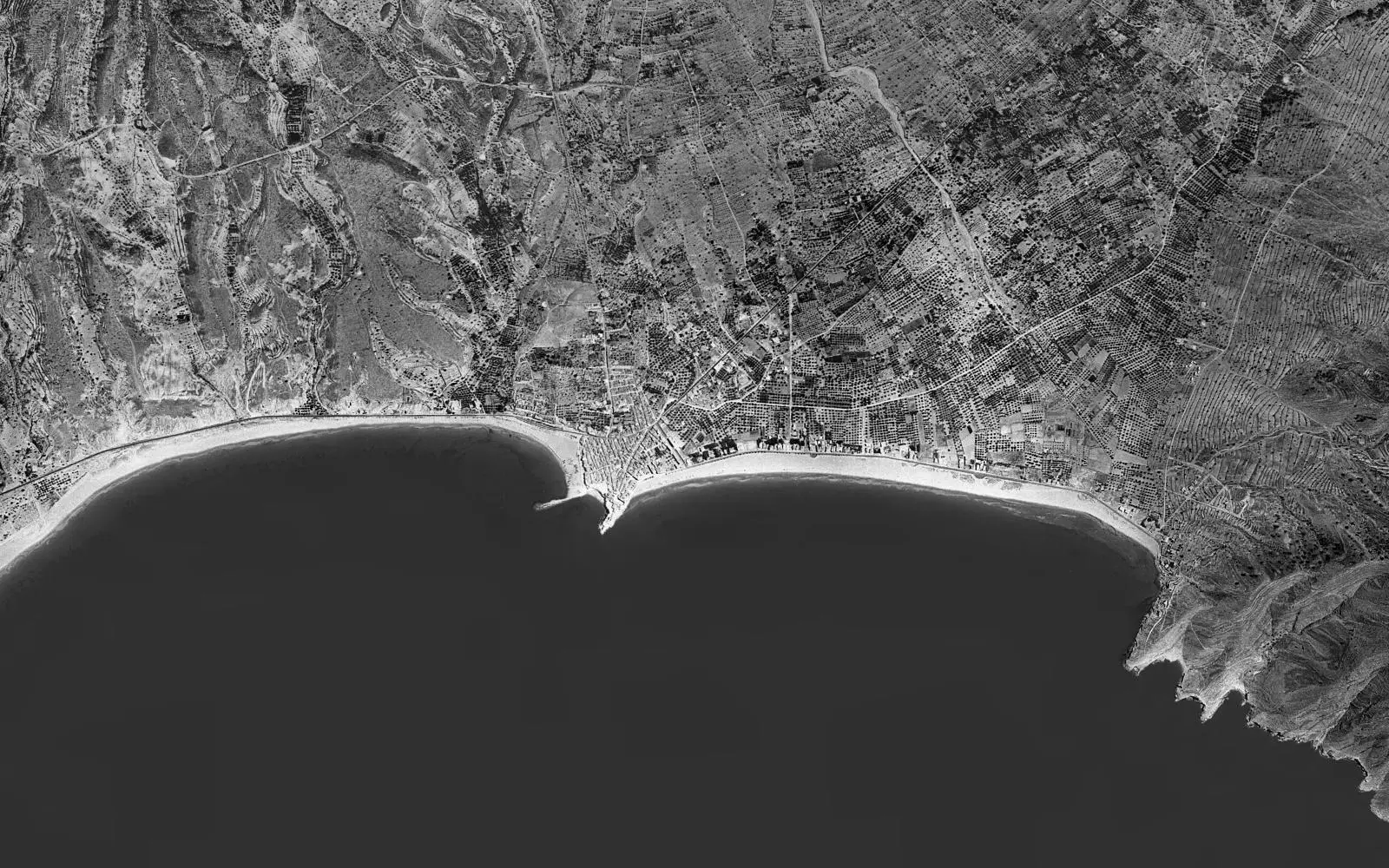
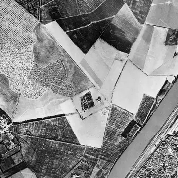
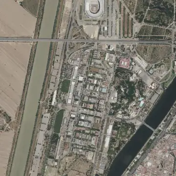
Benidorm in 1956 and today. Drag the line. Read the story
- 1
Search
Any address, town or spot in Spain. The search uses CartoCiudad, from the IGN itself.
- 2
Slide the years
The photos blend from one survey to the next. Only the years with a photo of that area appear.
- 3
Compare and share
Put two periods side by side with the curtain, make a video or GIF timelapse and share the link.
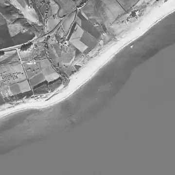
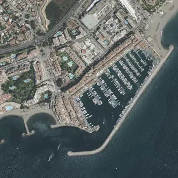
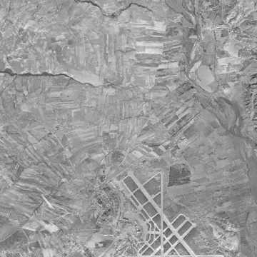
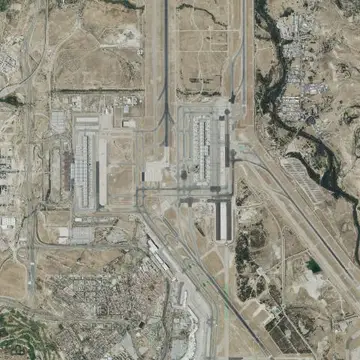
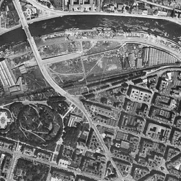
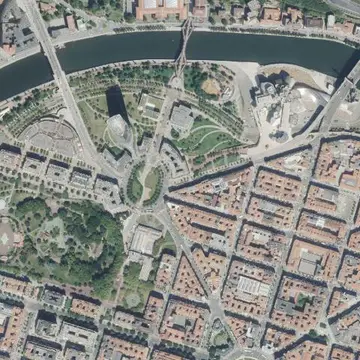
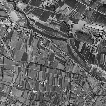
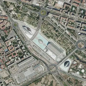
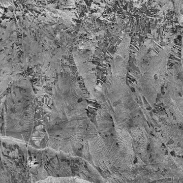
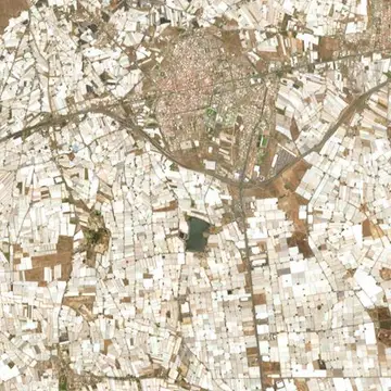
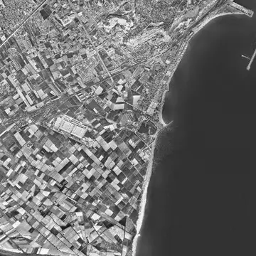
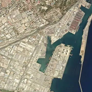
Which photos exist
From which year each area has a photo
There is not a photo of every place every year. The old surveys were flown for different purposes and did not always cover the whole country; since 2004 the PNOA flies a part of it each year.
- Mainland and Balearics
- From 1956, with almost no gaps.
- Canary Islands
- From SIGPAC (1997-2003). Not in the earlier surveys.
- Ceuta and Melilla
- From the 2006 PNOA.
- Seventies, eighties and nineties
- Partial only: see the maps.
The historical surveys
The PNOA, year by year
Each map marks what was photographed that year. Notice how regions take turns: that is why each place gets a new photo every two or three years.
Maps computed from the IGN historical orthophoto WMS. Coloured area: there is a photo.
Questions
What people usually ask
Where do the photos come from?
From the Spanish National Geographic Institute (IGN), which publishes the historical survey flights already corrected to fit the map (orthophotos). Ayer shows them as they are, under their CC BY 4.0 licence, without retouching.
Why is there no 1956 photo of my area?
The 1956-1957 flight covers the mainland and the Balearic Islands. The Canary Islands, Ceuta and Melilla are not in it. In the Canaries the photos start with SIGPAC, around 2000; in Ceuta and Melilla, with the 2006 PNOA. The map only shows on its year bar the surveys that have a photo of the area you are looking at.
Why are some PNOA years missing?
The National Aerial Orthophotography Plan does not fly the whole country every year: it takes turns between regions, so each area gets a new photo every two or three years. The photo labelled “Today” is the latest mosaic, which joins the newest photo of every area.
Can I use the images or the videos I export?
Yes, citing the source. The orthophotos are licensed CC BY 4.0 by the Spanish National Cartographic System, and the videos and GIFs you export already carry the attribution. If you publish them, keep it visible.
What data about me is stored?
Nothing linked to you. Searches and photos go through our server so that your IP is not exposed to the IGN and so they can be cached, and they only stay a few weeks in the server’s technical logs, as on any website. Videos are made in your own browser. Only if you accept, Google Analytics measures visits in aggregate.
Why do some old photos look blurry or blank?
The first surveys were flown at lower resolution and in black and white, which shows at high zoom. If an area is blank, that survey did not cover it: pick another year or zoom out a little.