Ayer your street, yesterday

Places · Barcelona

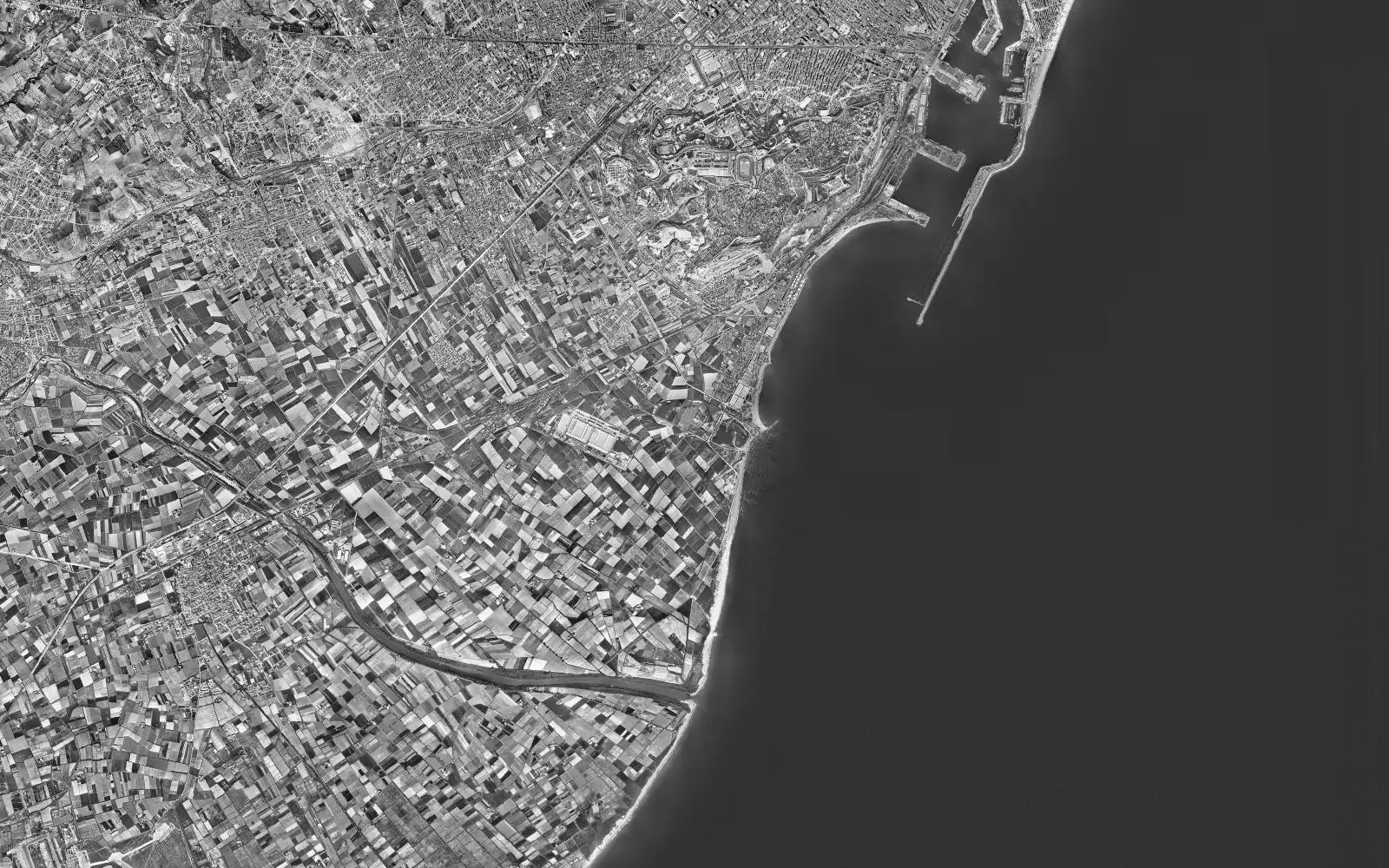
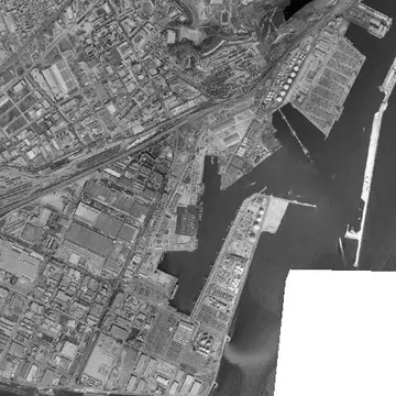
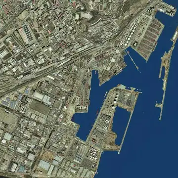
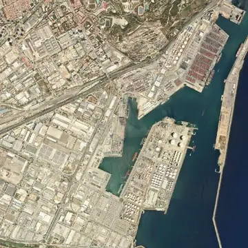
Port of Barcelona in 1956 and today

A port that grew south until it moved the mouth of a river.
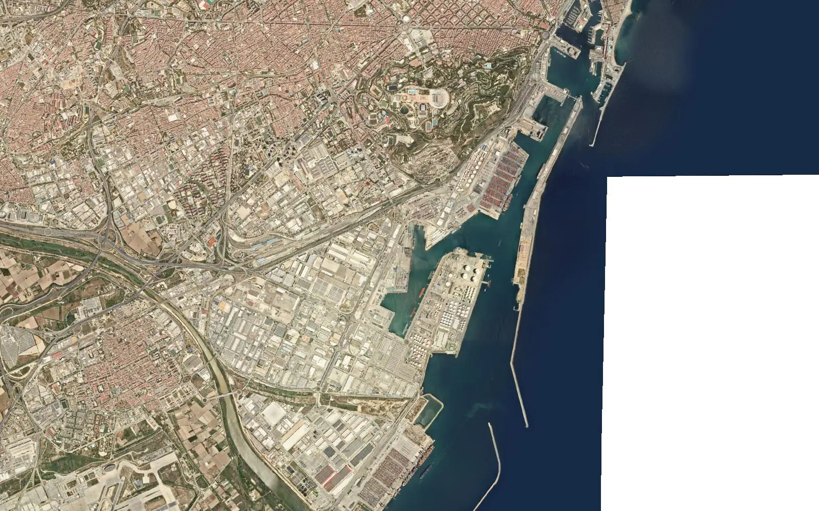
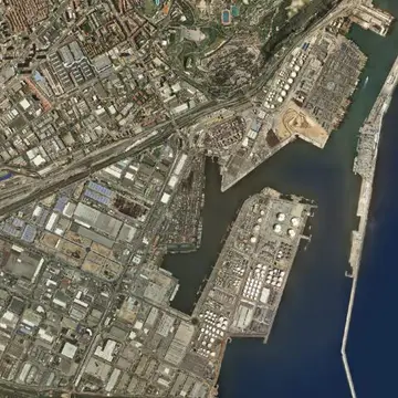
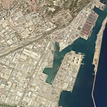
Port of Barcelona, aerial photo from today
Port of Barcelona, aerial photo from 1956
1956Today
Drag the line to compare. Photos: Vuelo Americano Serie B 1956-1957 · PNOA máxima actualidad, CC-BY 4.0 scne.es Explore on the map

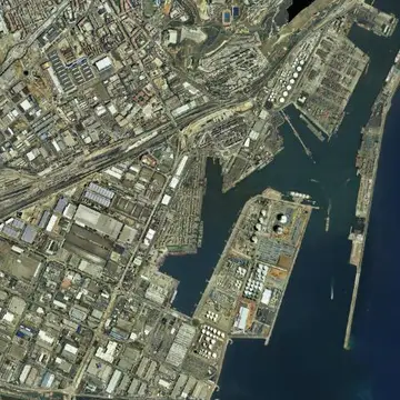
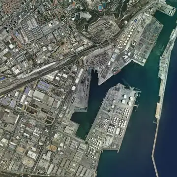
In 1956 the port of Barcelona is limited to the quays next to the city and Montjuïc hill. To the south, the Llobregat delta is a landscape of orchards, lagoons and beach.

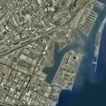
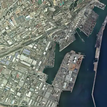
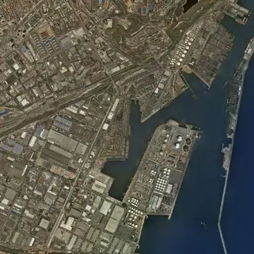
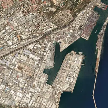
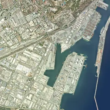
To gain room the port was extended with new breakwaters and quays, and in 2004 the mouth of the Llobregat was moved a few kilometres south. The recent photos show the container terminals, the logistics area and the new river channel.

The full sequence

Every photo the IGN has of this spot, from oldest to newest. Tap one to open it on the map.
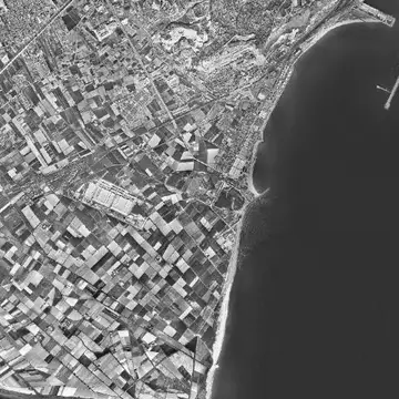
  1. Port of Barcelona in 19561956
  2. Port of Barcelona in 1997–981997–98
  3. Port of Barcelona in 1997–20031997–2003
  4. Port of Barcelona in 20042004
  5. Port of Barcelona in 20062006
  6. Port of Barcelona in 20082008
  7. Port of Barcelona in 20092009
  8. Port of Barcelona in 20122012
  9. Port of Barcelona in 20152015
  10. Port of Barcelona in 20182018
  11. Port of Barcelona in 20212021
  12. Port of Barcelona in 20242024
  13. Port of Barcelona in TodayToday