Ayer your street, yesterday

Places · Valencia

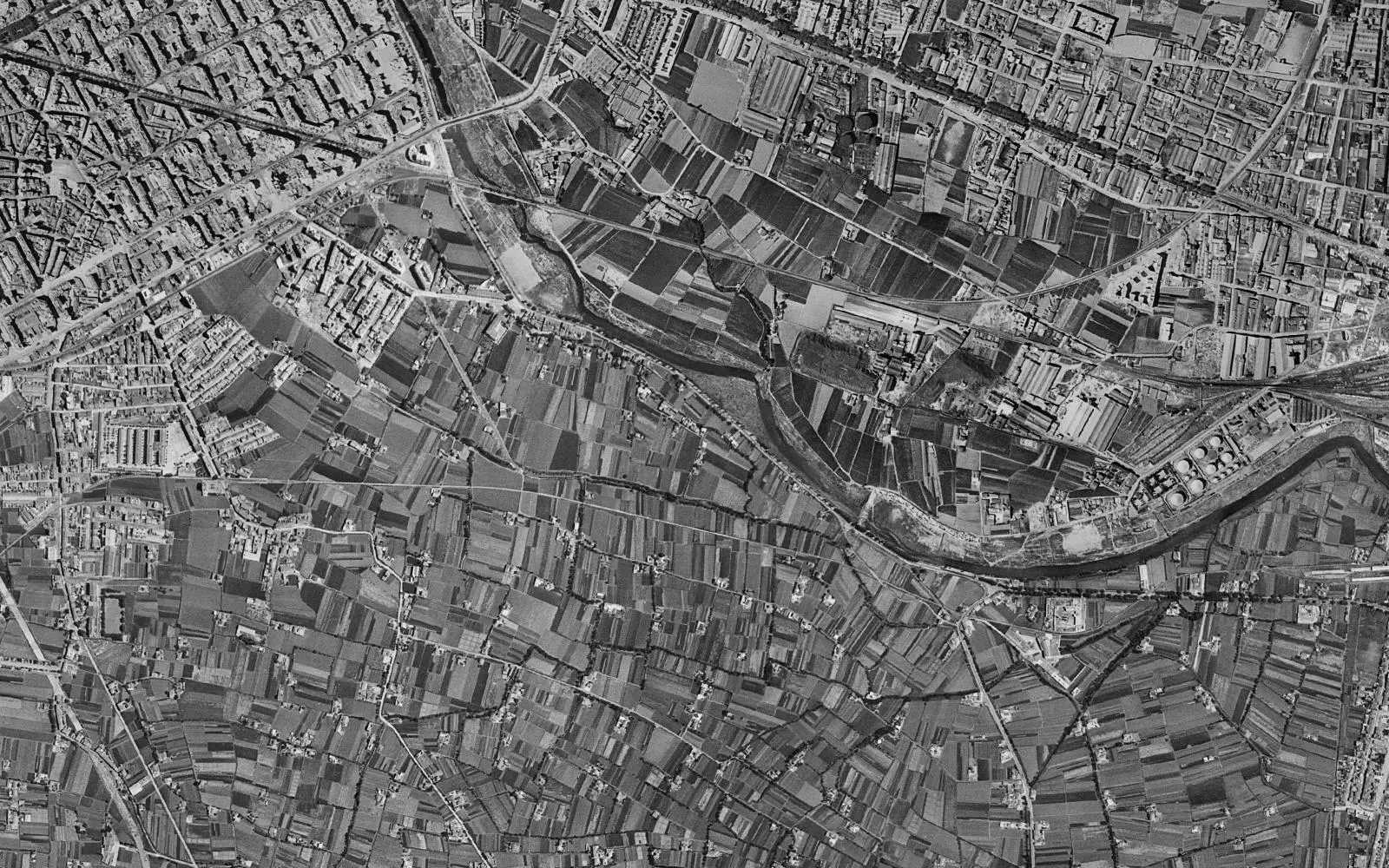
City of Arts and Sciences, Valencia in 1956 and today

The river that no longer runs through Valencia and what was built in its bed.
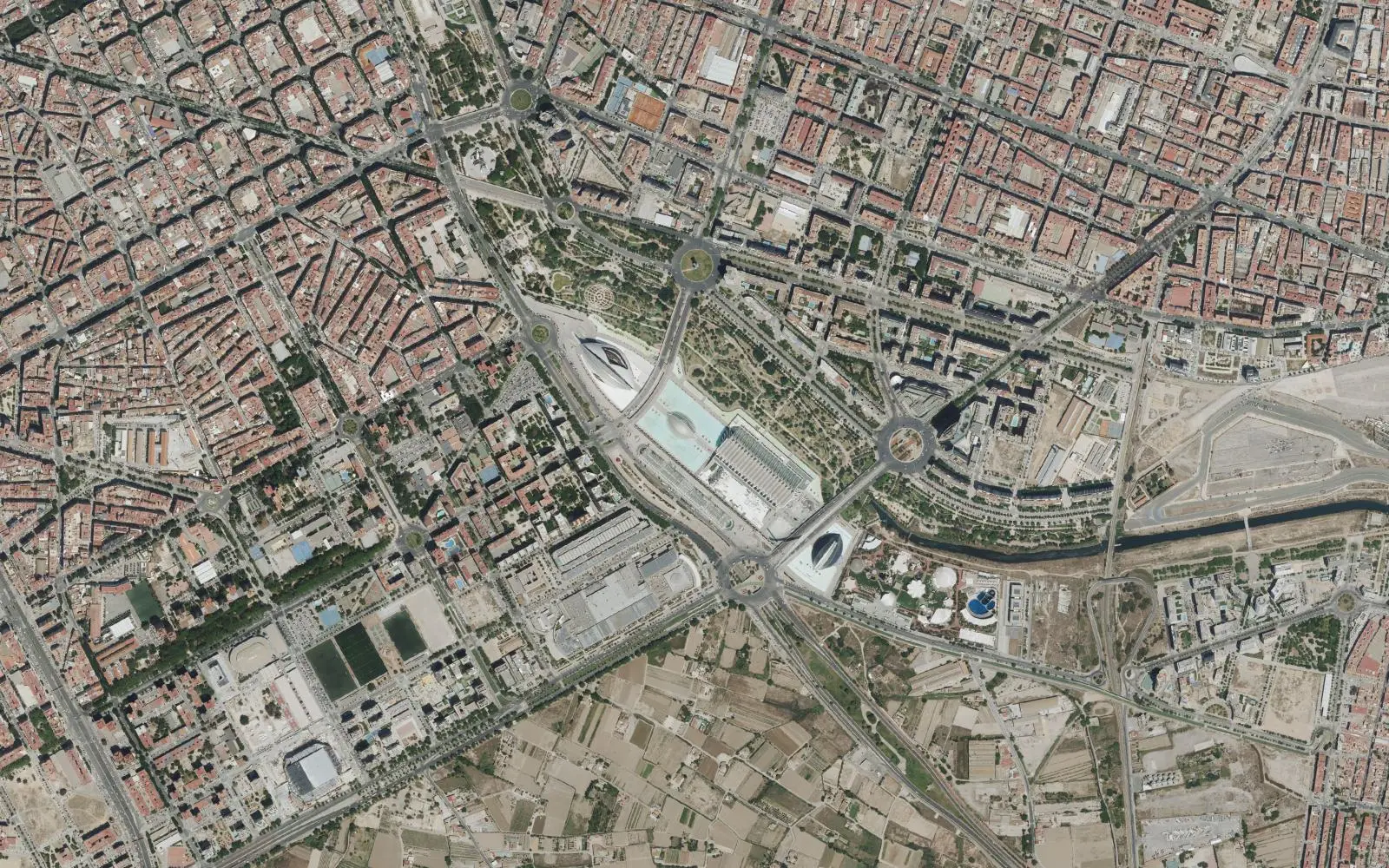
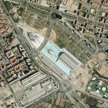
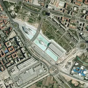
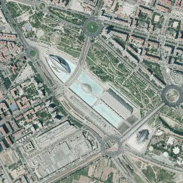
City of Arts and Sciences, Valencia, aerial photo from today
City of Arts and Sciences, Valencia, aerial photo from 1956
1956Today
Drag the line to compare. Photos: Vuelo Americano Serie B 1956-1957 · PNOA máxima actualidad, CC-BY 4.0 scne.es Explore on the map

The 1956 photo predates the great flood of October 1957. That is why it shows the Turia crossing the city along its natural bed, with orchards on both sides and the mouth next to the port.

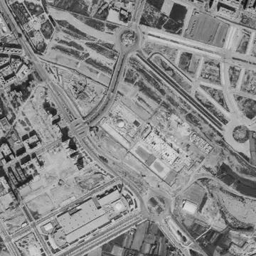
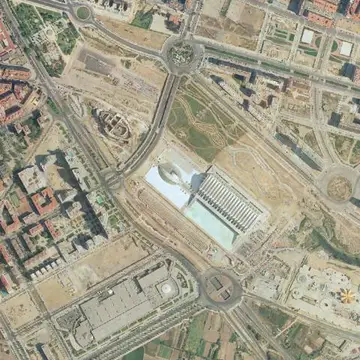
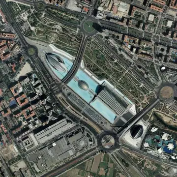
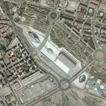
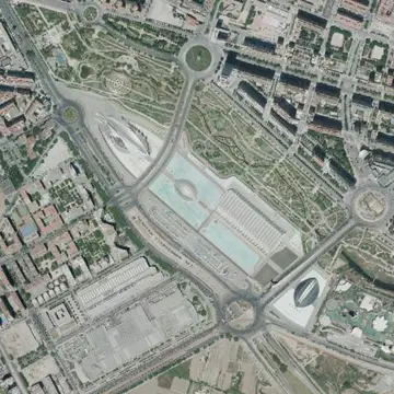
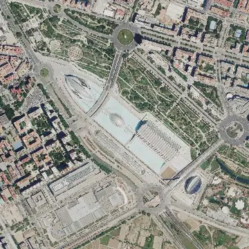
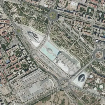
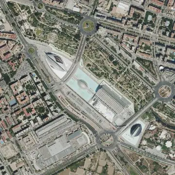
After the flood, the South Plan diverted the river into a new channel south of the city, and the old bed became the Turia Gardens. At its lower end the City of Arts and Sciences was built, opening in stages from 1998. The SIGPAC and early PNOA photos show the buildings half finished.

The full sequence

Every photo the IGN has of this spot, from oldest to newest. Tap one to open it on the map.
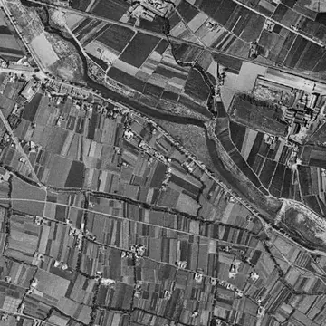
  1. City of Arts and Sciences, Valencia in 19561956
  2. City of Arts and Sciences, Valencia in 1997–981997–98
  3. City of Arts and Sciences, Valencia in 1997–20031997–2003
  4. City of Arts and Sciences, Valencia in 20062006
  5. City of Arts and Sciences, Valencia in 20082008
  6. City of Arts and Sciences, Valencia in 20102010
  7. City of Arts and Sciences, Valencia in 20122012
  8. City of Arts and Sciences, Valencia in 20152015
  9. City of Arts and Sciences, Valencia in 20182018
  10. City of Arts and Sciences, Valencia in 20212021
  11. City of Arts and Sciences, Valencia in 20242024
  12. City of Arts and Sciences, Valencia in TodayToday