Ayer your street, yesterday

Places · Almería

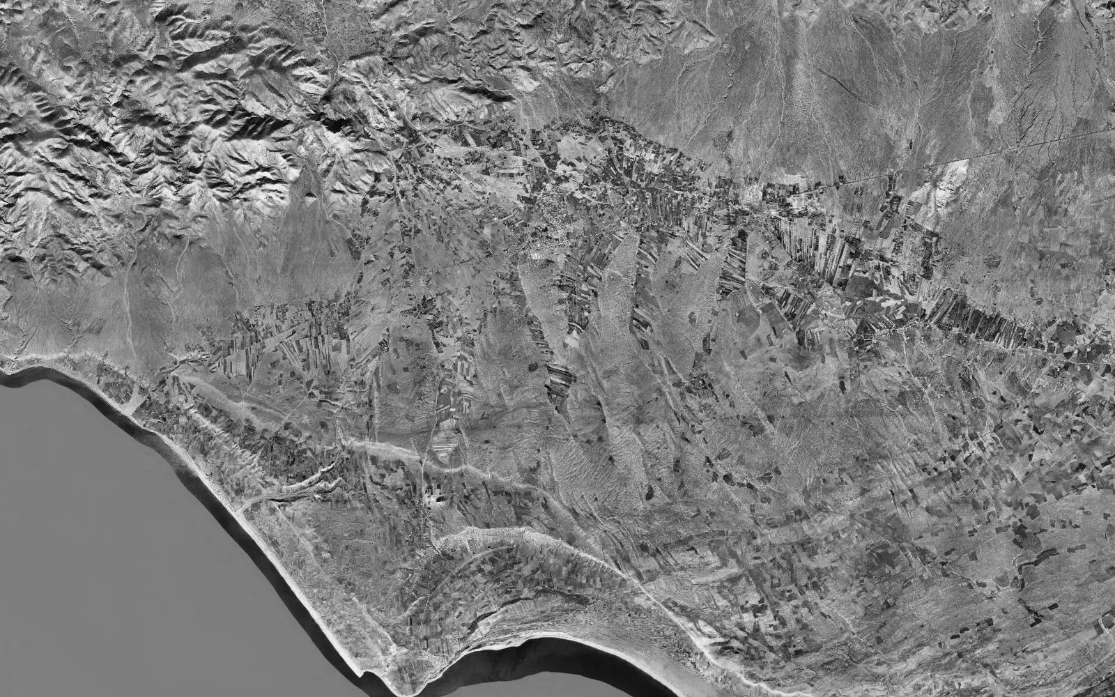
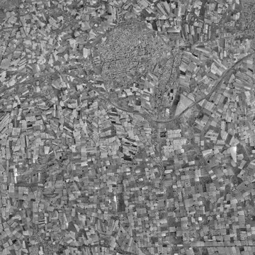
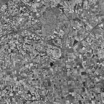
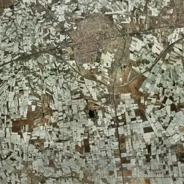
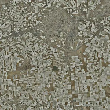
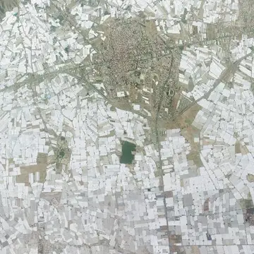
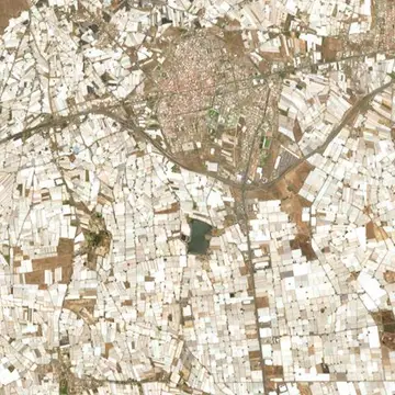
The greenhouses of El Ejido in 1956 and today

The sea of plastic visible from space, field by field.
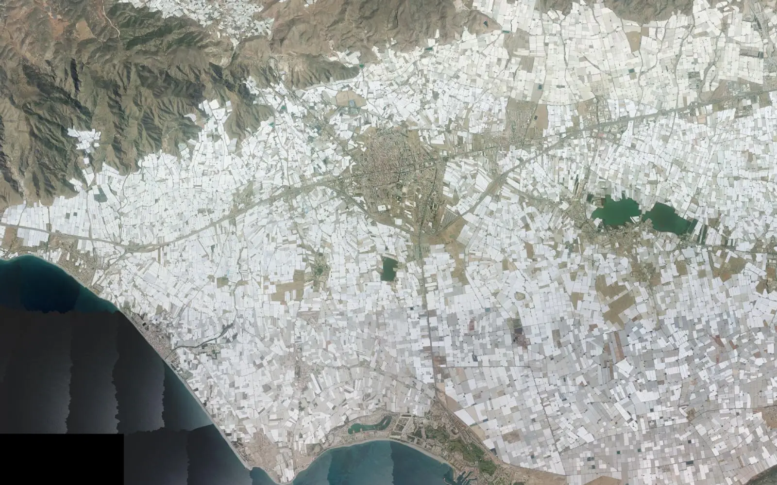
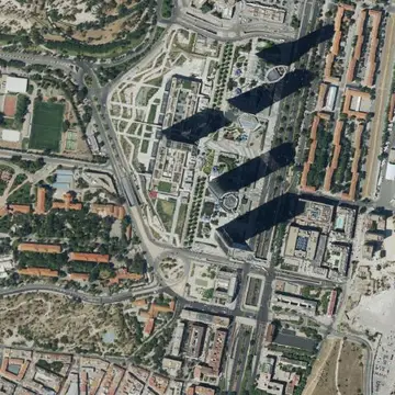
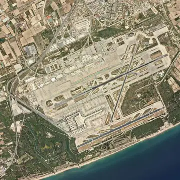
The greenhouses of El Ejido, aerial photo from today
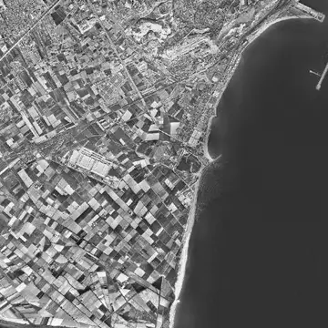
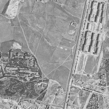
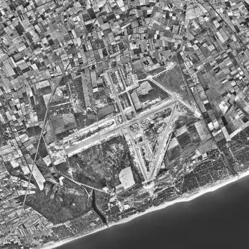
The greenhouses of El Ejido, aerial photo from 1956
1956Today
Drag the line to compare. Photos: Vuelo Americano Serie B 1956-1957 · PNOA máxima actualidad, CC-BY 4.0 scne.es Explore on the map

In 1956 the Campo de Dalías is a semi-desert plain between the Sierra de Gádor and the sea, with a few irrigation channels and scattered houses. The pale tone of the photo is bare ground.

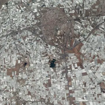
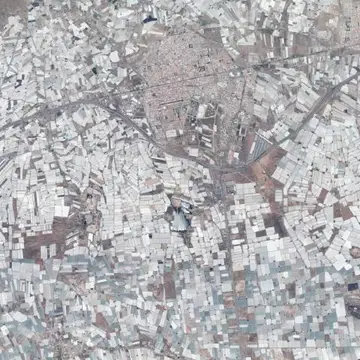
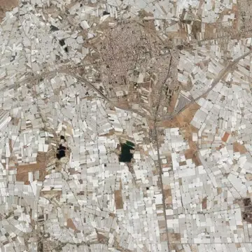
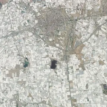
From the sixties on, sand-mulch farming and then plastic greenhouses transformed the area. Today the province of Almería has more than 30,000 hectares of greenhouses, and El Ejido, which split from Dalías in 1982, is its centre. The slider shows the white rectangles covering the ground year after year.

The full sequence

Every photo the IGN has of this spot, from oldest to newest. Tap one to open it on the map.
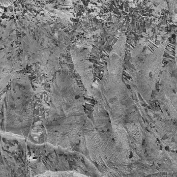
  1. The greenhouses of El Ejido in 19561956
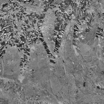
  2. The greenhouses of El Ejido in 1973–861973–86
  3. The greenhouses of El Ejido in 1981–861981–86
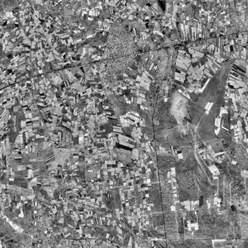
  4. The greenhouses of El Ejido in 1997–981997–98
  5. The greenhouses of El Ejido in 1997–20031997–2003
  6. The greenhouses of El Ejido in 20042004
  7. The greenhouses of El Ejido in 20062006
  8. The greenhouses of El Ejido in 20082008
  9. The greenhouses of El Ejido in 20102010
  10. The greenhouses of El Ejido in 20132013
  11. The greenhouses of El Ejido in 20162016
  12. The greenhouses of El Ejido in 20192019
  13. The greenhouses of El Ejido in 20222022
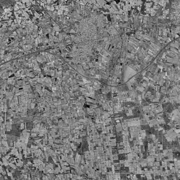
  14. The greenhouses of El Ejido in TodayToday