Ayer your street, yesterday

Places · Zaragoza

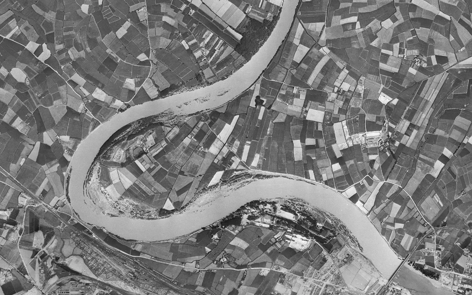
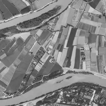
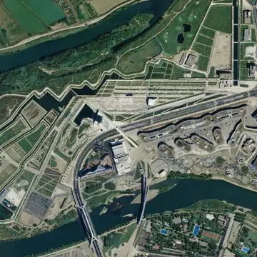
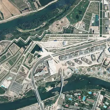
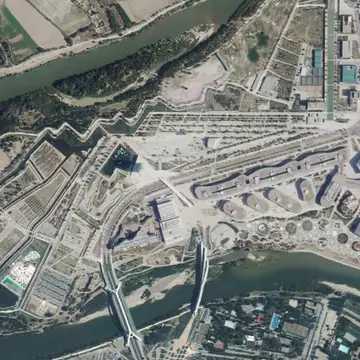
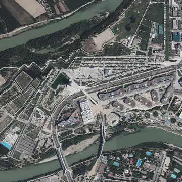
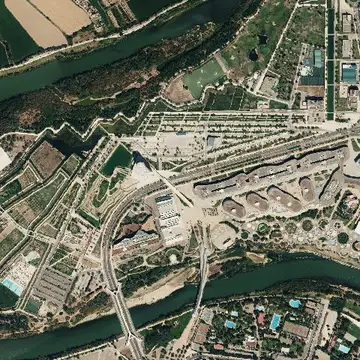
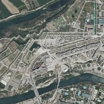
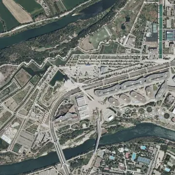
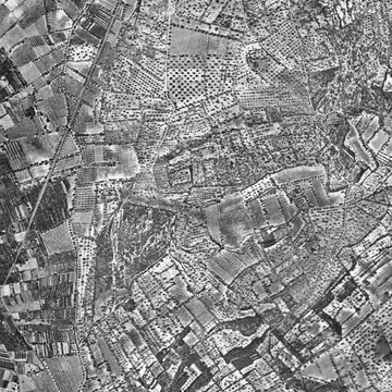
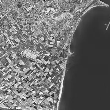
Ranillas meander, Zaragoza in 1956 and today

A meander of the Ebro with orchards that became the grounds of the water Expo.
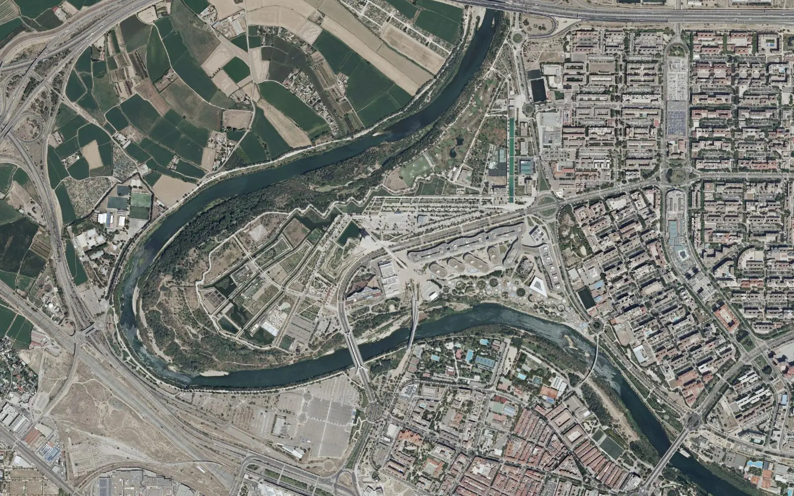
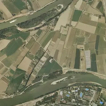
Ranillas meander, Zaragoza, aerial photo from today
Ranillas meander, Zaragoza, aerial photo from 1956
1956Today
Drag the line to compare. Photos: Vuelo Americano Serie B 1956-1957 · PNOA máxima actualidad, CC-BY 4.0 scne.es Explore on the map

In the 1956 photo the Ranillas meander is farmland surrounded by the Ebro, with no bridges or buildings nearby, on the outskirts of Zaragoza.

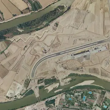
The 2008 International Exposition, devoted to water and sustainable development, filled the meander with pavilions, the Conference Centre, the Water Tower and the Bridge Pavilion. The Water Park was laid out next to it. The 2006 and 2009 surveys show the moments just before and after the works.

The full sequence

Every photo the IGN has of this spot, from oldest to newest. Tap one to open it on the map.
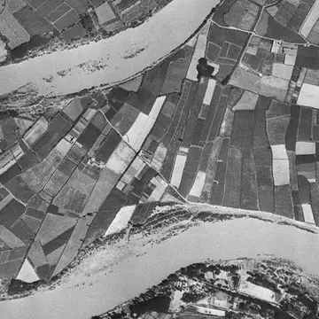
  1. Ranillas meander, Zaragoza in 19561956
  2. Ranillas meander, Zaragoza in 1997–981997–98
  3. Ranillas meander, Zaragoza in 1997–20031997–2003
  4. Ranillas meander, Zaragoza in 20062006
  5. Ranillas meander, Zaragoza in 20092009
  6. Ranillas meander, Zaragoza in 20122012
  7. Ranillas meander, Zaragoza in 20152015
  8. Ranillas meander, Zaragoza in 20182018
  9. Ranillas meander, Zaragoza in 20212021
  10. Ranillas meander, Zaragoza in 20242024
  11. Ranillas meander, Zaragoza in TodayToday