Places · Gran Canaria
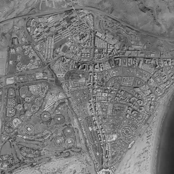
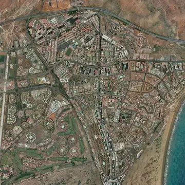
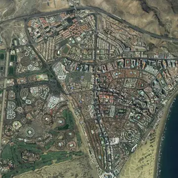
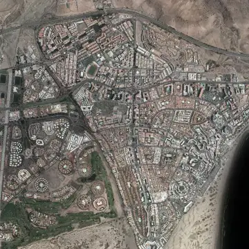
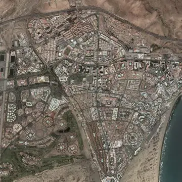
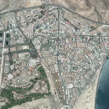
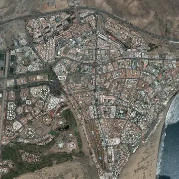
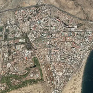
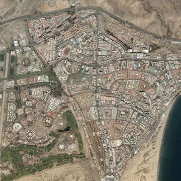
Maspalomas and Playa del Inglés in 1997–2003 and today
Dunes and resorts in Gran Canaria, where the oldest photo dates from around 2000.
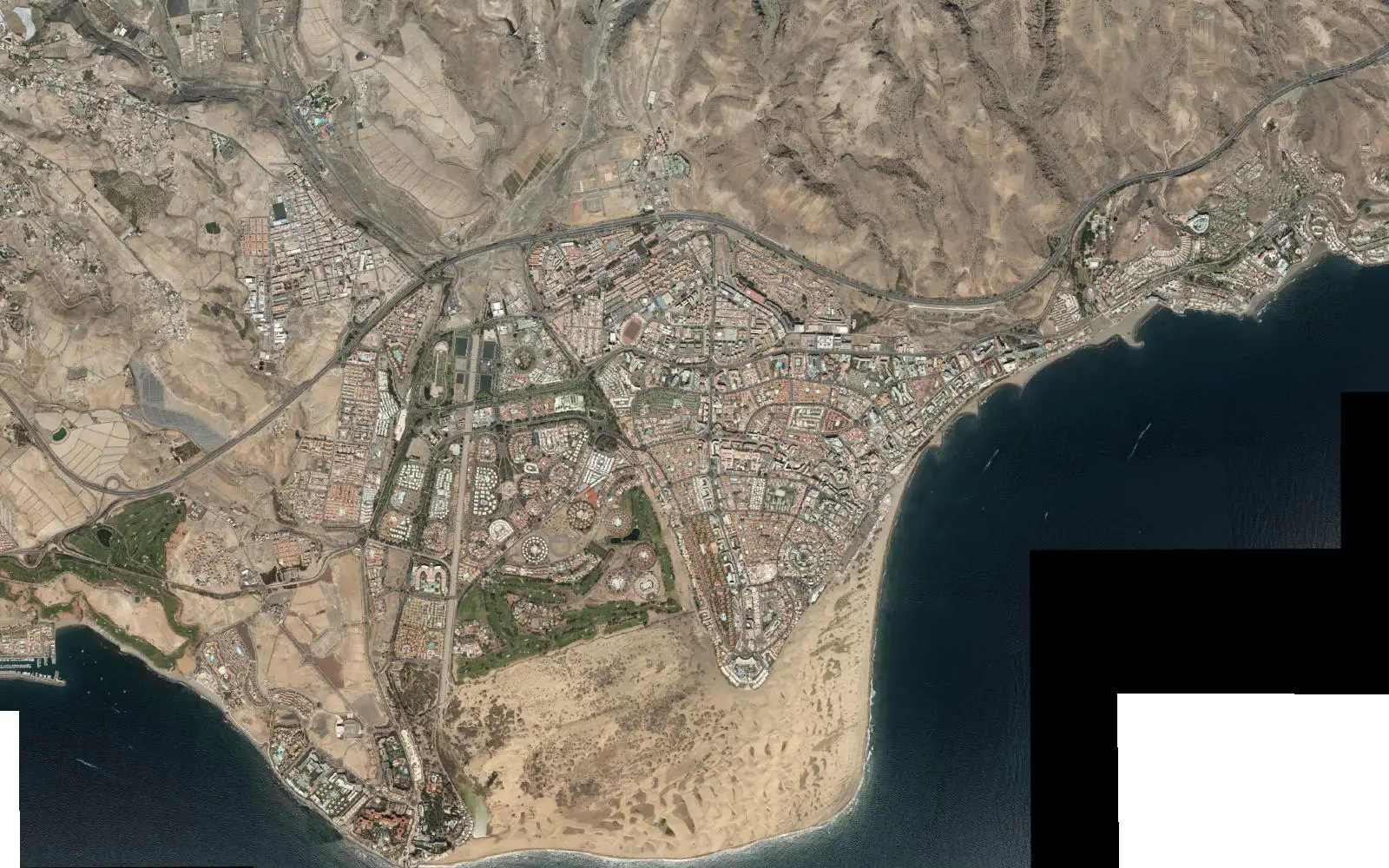
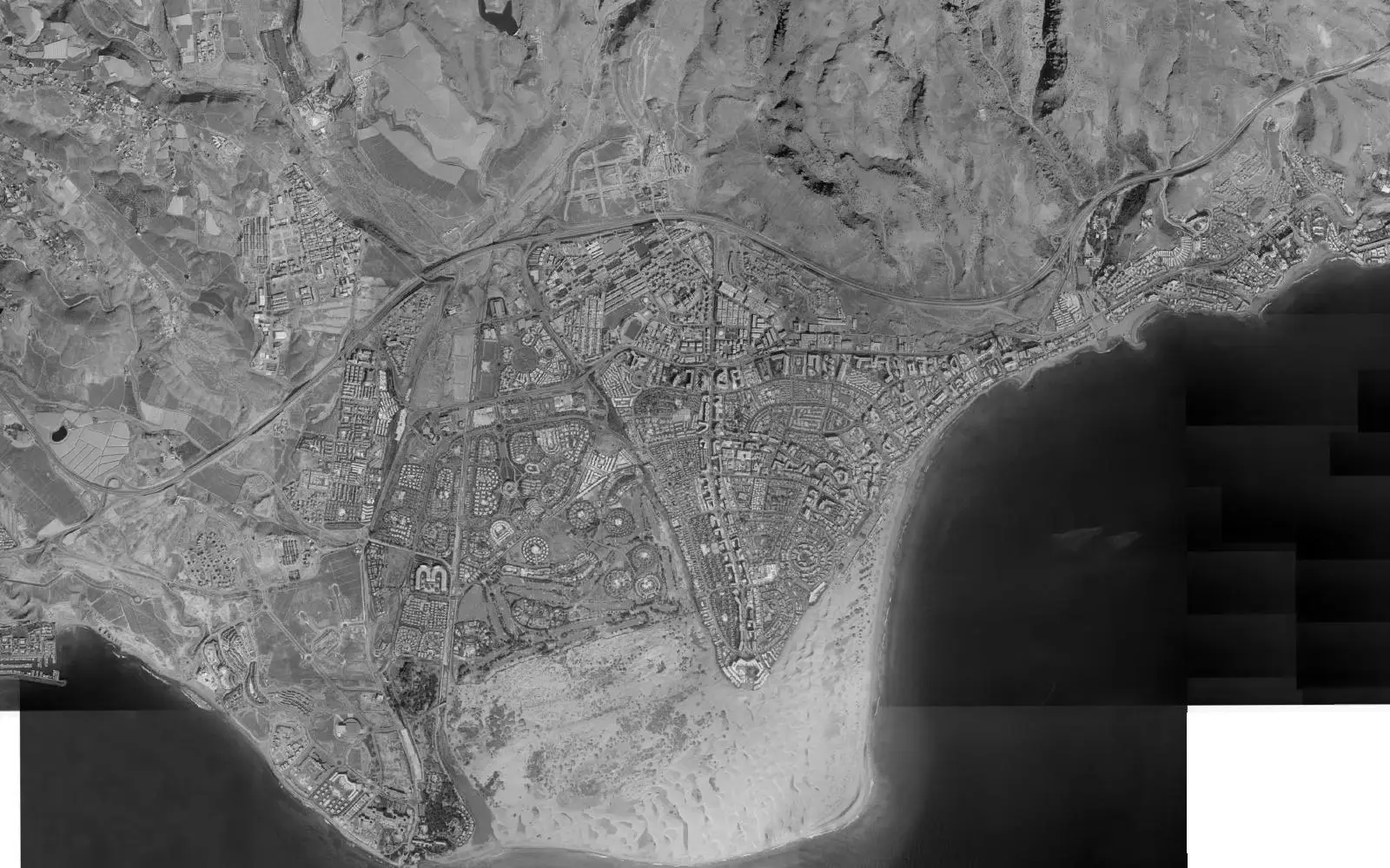
The Canary Islands are not in the 1956 survey or in the seventies and eighties surveys published by the IGN, so here the comparison starts with the SIGPAC photos. By then Playa del Inglés and Maspalomas were already built: the big change had happened between the sixties and the eighties.
What you can see from one survey to the next is the life of the dunes, protected as a nature reserve, as they shift and lose sand, and the last gaps between hotels being filled.
The full sequence
Every photo the IGN has of this spot, from oldest to newest. Tap one to open it on the map.